Sure, Google Maps is almost as old as the internet itself.
It has its fair share of problems – for example this post about a common error code on Google Maps is one of our most popular.
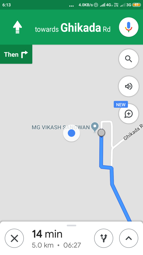
But that said, it’s still the easiest way to navigate from one location to another – when it works, the blue dot is a useful feature. Google Maps in “app” form also helps in exploring several other things such as nearby petrol pumps, hospitals, restaurants, etc in a particular area. But to get the most accurate results, it is necessary for the app to get the most precise location (the Blue dot on the map).
Also, sometimes the app finds it hard to locate the current position and hence fails to deliver the proper results. Having said that, there could be several reasons behind this, like weak GPS signal or compass not being properly calibrated. So, in case, you are facing a similar issue then in this how-to guide, we are going to tell you three ways which can help you improve the location accuracy in Google Maps.
But, before moving forward, it is essential to know how Google Maps tracks the location.
– GPS: aka satnav, this uses satellites to get the location up to 20 metres.
– Wi-Fi: The nearby Wi-Fi helps the app to know the location
– Mobile networks: This provides the most accurate location
In case any of these signals are weak, Google Maps can struggle to get a precise location. Now, let’s have a look at the methods to fix them.
How to manually calibrate the GPS
This is helpful when the Blue dot beam is wide or pointing in the wrong direction.
- Open Google Maps app on your Android smartphone
- Start making a figure 8 until the compass is calibrated.
- Turn on High-accuracy mode
- Head to ‘Settings’ on your Android smartphone
- Go to the ‘Location’ option
Turn of the Location services using the toggle at the top
Now, head to the Mode and choose ‘High-accuracy’ option
Internet search giant Google is rolling out a new feature in Google Maps that will let its users know if a place they are looking up on the platform is accessible via a wheelchair.
CEO Sundar Pichai announced the rollout of the new feature on Twitter:
We’re introducing new accessibility tools including more prominent wheelchair accessibility info in @GoogleMaps, on… https://t.co/Mv2Iq5ocBy— Sundar Pichai (@sundarpichai) 1590082595000
The new feature is being rolled out to both Android and iOS users for Google Maps users in Australia, Japan, the United Kingdom and the United States, the company announced in a blog post with a promise of support for additional countries on the way.
The company asks its users to update its Google Maps apps to the latest version to get this feature.
In order to turn it on, users will be required to go to Settings by tapping on the picture on the top right corner and scroll down to ‘Accessibility settings’ on turn on ‘Accessible Places.’
Once this feature is enabled, Google Maps users will be able to see a wheelchair icon that indicates whether or not the place is accessible via a wheelchair. Not only that, the app will also segregate that the accessibility is in terms of entrance, seating, restrooms and parking by providing an individual check mark for each of them. This can be seen by tapping on a particular location and scrolling down to find all the details of that place such as contact number, rating, website, etc. “If it’s confirmed that a place does not have an accessible entrance, we’ll show that information on Maps as well,” said Google.
The company has also said that for iPhone users, it is making it easier to contribute accessibility information.
Google also says that during this time of Covid-19, it is especially important for its users to know before they go to a place so that they won’t be stranded outside.
Google maps has been unreliable for weeks and my confidence level is getting worse!
The directions it’s giving are ridiculous. For example this morning maps had me turn left at the light, turn right on this street continue, then turn right , continue for, then turn left on. I could have just went to the next street and turned left. In fact I could have went 4 or lights and turned left and ended up at the same place.
My wife I and I have been driving all around the US and Canada for 380 days. Up until recently Google maps on my Samsung phone was working well.
But lately it is taking us on bizarre indirect routes. It is also mis-describing the turns. For example when it says “Turn right onto Willow Street, signs for I-18.” there are no signs for Willow or I-18….even though it is where we need to turn. That kind of thing has been happening several times each day.
Google maps sends people to the back gate of my apartment complex, even though it is locked. It can only be opened when a resident has a special key fob. The gate is located on Ruth Drive by Somerset Lakes Apartments, in Indianapolis Indiana. I have written two other times about this, and nothing has changed. Please change this! Thank you.
I almost had my wife divorced because of google maps giving far off directions.
who screwed up the MAPS ! I need a route plan, can’t get it any longer, who ever is the map person? FIRE HIS ASS !!!!!!!
It’s not the location tracking that’s the problem I’m encountering. Maps shows much longer times for the usual routes, sometimes 3-4 times the minutes. THAT isn’t about distance and time. It’s about some kind of miscalculation within the app. What should normally show 16 minutes shows as taking 1 hour 3 minutes, without any accidents or other road issues.
Another thing that’s wrong with Google Maps is once a route is chosen doesn’t allow selecting another route to switch over to. And it keeps giving directions to get off the simplest and shortest route, continuously glitching as if it doesn’t understand I don’t want to take the first route. It used to be more intuitive about that. Not any more. I have switched to Waze, even though it lacks many of the features Maps has.
I live in the middle of Denver, in the tech center. I’ve used maps on three different devices in the last year, to make sure I’m not insane. Maps does not work. Let me break this down.
I need to take a bus: the fastest route is to walk 6 minutes and take a bus with one transfer. Google doesn’t like that answer, so it tells me to take a train to union station, transfer to a bus that takes me a county away so I can transfer 2 times. The commute time that I calculate is about 40 mins, tested and accurate. Googles transit time is an hour and forty minutes also tested and accurate.
Let’s talk driving. Regularly, Google tells my friend and I to get off the freeway, then tells us to get back on the same freeway within 4 minutes. It constantly re routs to slower and less direct routs, which could be explained with live traffic updates, to which I say; what traffic? More often than not, the roads clear.
How about riding a bike? Dangerous. Never use Google maps on a bike. It routed me on to the freeway last night, and told me to CROSS THE FREEWAY ON A BICYCLE. this was NOT user error, I was on wifi, and maps is up to date, on my brand new moto. Don’t make excuses for a company that only seems to care if you have a 1000$ phone on the most expensive network, and lies if you don’t.
Today, Google Maps ignored the “Y” in the tollway that was ending and didn’t bother to tell me which way I was supposed to go. Acted like it wasn’t even there. Neither of the choices was the “main” road and the other a side road, so it isn’t like it should have been obvious. Google ignored it and was just telling me the next move past that. I ended up guessing the wrong way at the Y. Then it took me to a neighborhood and told me I had reached my destination. I was going to a large Eye Doctor center, whose address was on a different street. I have no idea why Google would dump me in this neighborhood. I had to find the office on my own. Then on the way home, while on a highway, Google told me my next move was a right exit onto a tollway. But before that, the three right lanes were going off onto another highway. I had to quickly make my way over to the left. It didn’t give any warning, or make sure you knew which road to be on before making the upcoming right hand turn. Google used to tell you which lane to be in when in situations like that. Google was terrible today. Caused me a lot of frustration and stress, and I was SO glad I left really early for my appointment. I’ve been comparing Waze, and I’m going to start choosing that one first.
Route times are in days and hours for a 3 hour trip.
Maps suggest a circuitous far out of the way trip, for a simple direct route!
Thus has been going on for nonths!!!